Go for a walk with your kids. We’ve put together a collection of our favourite family walks in Newcastle.
Explore historical and cultural sites, experience nature or enjoy stunning views of harbour and beaches. We’ve chosen a variety of family walks around Newcastle to suit a variety of ages and family members.
Whether you’re looking for a stroller-friendly walking track, a flat walk for your toddler or preschooler or a more challenging Newcastle bush walk or nature hike for school-aged kids, we’ve got you covered.
Check out our list of 20 Newcastle walks to enjoy. We’ve put together a description plus a link for more detailed information plus a handy regional map to locate the walk.
Bar Beach to Merewether
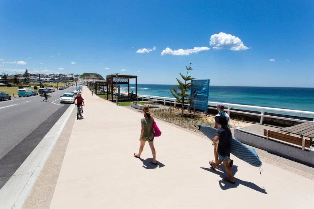
This beautiful coastal walk is a popular one. It starts at Bar Beach where there’s plenty of parking. It’s a flat easy walk until the walk heads up the hill to Dixon Park where it becomes flat again towards Merewether. Keep an eye out for dolphins. There’s a local pod that swims between Merewether and Newcastle beach. During whale-watching season, you can spot whales off the coast. If your kids feel like a play, there’s playground equipment at Empire Park in Bar Beach and also Dixon Park.
Distance: 1.95km one-way
Suitability: Flat path suitable for prams and wheelchairs but you’ll need to go up and down the hill at Dixon Park.
Anzac Memorial Walk
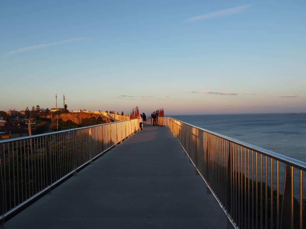
Not only does this 450-metre long cliff top walkway boast amazing ocean and city views, but it’s also a poignant tribute to local men and women who enlisted during World War 1. The walkway features history panels with information about different aspects of the conflict as well as listing the geographic place names of various conflicts. The walk is also pram and wheelchair accessible from the Strzelecki Lookout section enabling you to travel all the way to the viewing platform before looping back. If you don’t have to loop back, you can go down the series of clifftop steps linking it to the Bather’s Way. (No dogs allowed on the Anzac Walk – you’ll have to take pooch along Memorial Drive instead).
Distance: 450 metres
Suitability: Short walk, Pram-friendly and wheelchair friendly
For more information, read our guide to the Anzac Memorial Walk.
Hickson Street Walk
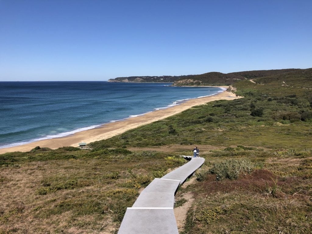
The Hickson Street walking track in Merewether is simply sublime. Offering panoramic views of Glenrock and the southern coastline, the walk winds its way down to the sandy expanse of Burwood Beach. With rock pools to explore and boulders to climb, it’s a great opportunity to immerse yourself in nature and enjoy a breath of fresh ocean air. Although Glenrock State Conservation Area covers both Newcastle and Lake Macquarie LGAs, this walk begins in Merewether in Newcastle LGA.
Distance: The track from Hickson Street down to Burwood Beach is about 500m and is easy to get down but it’s a challenging walk back up the hill.
Suitability: Short but challenging walk back up the hill. Best for kids with stamina.
For more information, read our guide to Hickson Street Walk.
Newcastle Beach to Nobbys Beach Walk
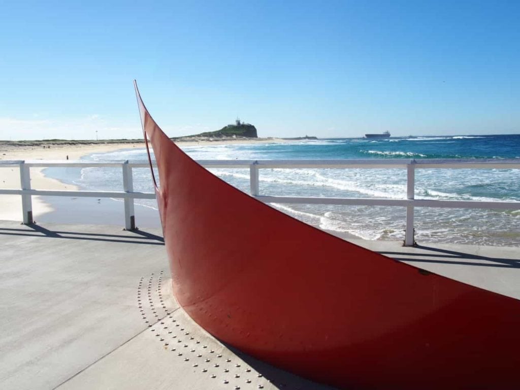
The walk between beaches isn’t a long walk but it’s a flat easy walk. Start from Newcastle SLSC, follow the lower path and head around to the Canoe Pool and Newcastle Ocean Baths. (If you want more of a challenge, walk on the higher path by the road as it has more of a hill). You can stop for a quick splash in the Canoe Pool or continue around the bend towards Nobbys Beach. You’ll pass Soldiers Baths, one of the first ocean baths built in Newcastle as well as the red sculpture Grounded commemorating the Pasha Bulka’s grounding in June 2007.
Distance: 1km
Suitability: Paved and flat suitable for prams and wheelchairs.
Nobbys Breakwall Walk
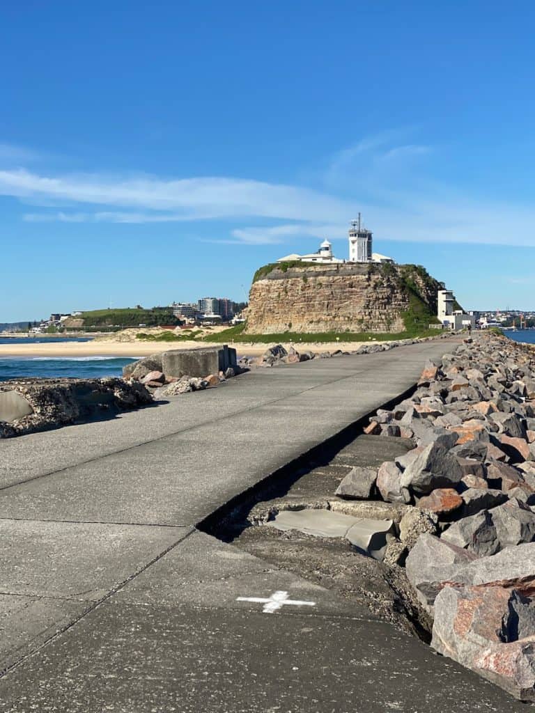
Head out to Nobbys Breakwall. It’s a flat paved walk from the Nobbys SLSC to the end of the breakwall. Along the way, you’ll see views of Newcastle Harbour, Stockton sand dunes and out to the ocean. Keep an eye out for seals as you’ll sometimes spot them on the rocks.
Distance: 1.5km one way
Suitability: Paved and flat suitable for prams and wheelchairs. Avoid area in big seas as waves crash over the break wall.
Nobbys Headland Walk
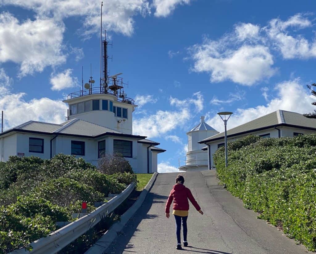
Walk up to Nobbys Headland. It’s an 800 metre walk from the Nobbys Beach car park with a bit of a steep climb at the end. (Check out the sculpture in the dunes halfway up the hill commemorating the Newcastle Lifeboat Service and Rocket Brigades). Up at the top, you’ll get close to the lighthouse and enjoy great views of Nobbys Beach, Stockton, the Harbour and back to Newcastle. Nobbys Headland is open from 8am to 4pm on Saturdays and Sundays. There’s also no public amenities so use the toilets at Nobbys Beach before you go.
Distance: 800m
Suitability: Steep climb at the end but you can still push prams and wheelchairs up to top.
For more information, read our guide to Nobbys Headland Walk.
Nobbys Beach to Honeysuckle Walk
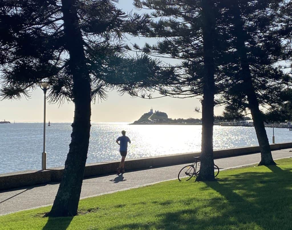
This harbour walk really captures the essence of Newcastle with views of the harbour, beach and coal ships. Start the walk at Nobbys Beach (parking available here) and head towards Honeysuckle. It’s a flat, easy walk with plenty of ferries, tug boats and coal ships to watch. If you want to time your walk with the entrance or exit of a ship in Newcastle Harbour, you can consult the Port of Newcastle Schedule.
Distance: 2.2 kilometres one-way
Suitability: Pram-friendly and wheelchair friendly
Throsby Creek Walking Loop
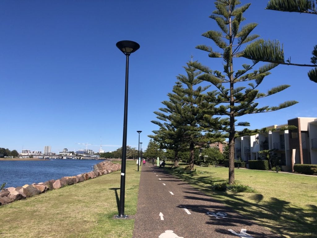
Go for a wander around Throsby Creek through the suburbs of Carrington and Maryville. What was once treated as a stormwater drain, Throsby Creek is now a thriving place filled with natural wildlife and people. Start your walk at Carrington foreshore and head west along Throsby Creek. Along the walk, you can do a shortcut through the mangroves. There you’ll find a large platform overlooking the mangrove trees, as well as another that looks out across Throsby Creek and back towards Maryville. If you continue along the walk, you’ll walk around to Maryville.
Distance: 2.5 kilometres from Carrington to Cowper Street Bridge, Maryville
Suitability: Pram-friendly and wheelchair friendly but note path changes from concrete to gravel in Carrington then back to concrete.
For more information, read our guide to the Throsby Creek Walking Loop Through Carrington & Maryville
Stockton Shipwreck Walk
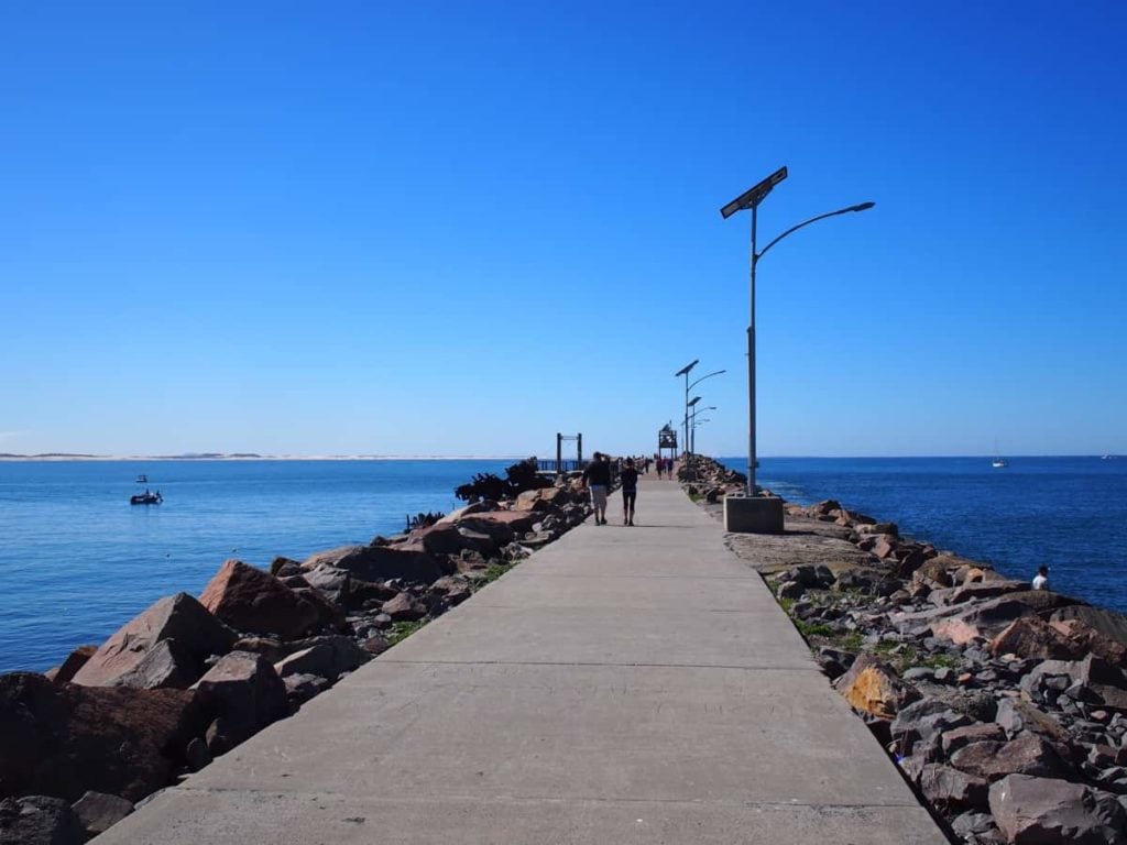
To see reminders of Newcastle’s maritime history, take your kids for a walk along the Shipwreck Walk along the northern breakwater in Stockton. During the 19th and early 20th centuries, many ships were shipwrecked as they tried to navigate entry in Newcastle Harbour. Today, it’s a fun family walk which combines history with scenic views. Although the remains of timber ships didn’t remain, the wrecks and hulls of steel and iron ships remained and were used in the construction of the breakwater. You can see the rusted hulk of the Adolphe, a French vessel that was shipwrecked in 1904.
Distance: 2km
Suitability: Pram-friendly and wheelchair friendly
For more information, read our guide to the Stockton Shipwreck Walk
Stockton Foreshore Walk
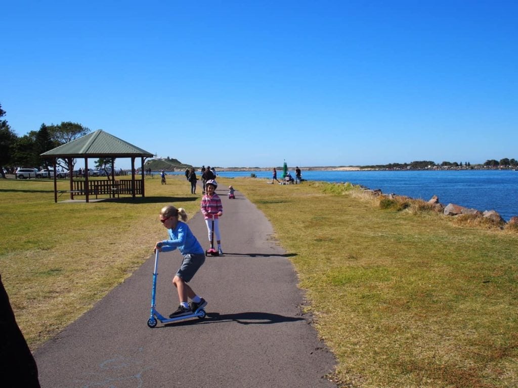
If you want a longer walk in Stockton, follow the Stockton Foreshore Walk. North of the harbour, the Stockton shared walk / cyclepath path stretches from Stockton Bridge all the way around the peninsula to the Stockton pool and the start of the breakwall. At approximately 7km, mostly flat and lightly used, it is a fantastic path to walk with kids. There are fantastic views of Stockton Bridge, the harbour, Nobbys Headland plus three playgrounds to visit along the way.
Distance: 7km one way from Stockton Bridge to Stockton Breakwall.
Suitability: Longer walk but pram-friendly and wheelchair friendly
For more information, read our guide to Stockton Foreshore Shared Path
Fernleigh Track
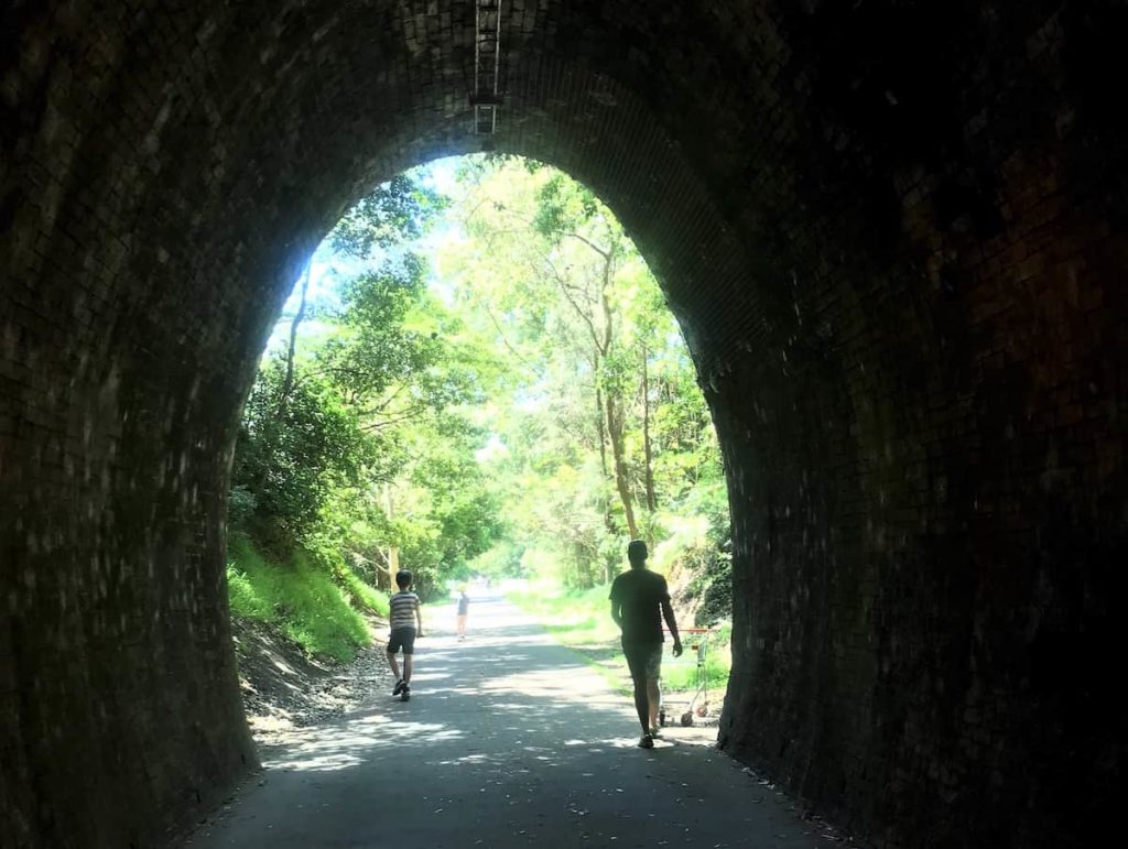
A former rail line with a tunnel, the 15 kilometre Fernleigh Track is a popular walking & cycling path connecting Newcastle & Lake Macquarie. It has multiple entry and exit points, which means you can tackle as little or as much as you like – from a quick stroll to a half-day adventure. The track is well maintained, with gentle slopes and wide pathways, so it’s ideal for all fitness levels. The trail is dotted with points of interest to keep even the most reluctant walkers interested, including natural and historical information, shady benches and even outdoor fitness equipment.
Distance: 15.5km one way
Suitability: Pram-friendly and wheelchair friendly but watch out for fast cyclists whizzing by
For more information, read our guide to the Fernleigh Track.
Blackbutt Reserve
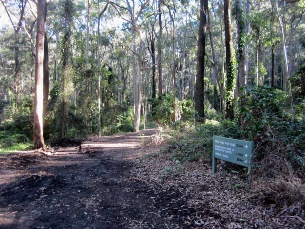
Due to COVID-19, Blackbutt Reserve in New Lambton is closed. But you can walk along the bush trails for essential exercise. There are nine different walking trails through Blackbutt Reserve for you and your family to enjoy. The walks are well signposted with the name of the track and the distance indicated at each major intersection. A few walks that aren’t too long (less than 2kms) are the Rainforest Walk, Forest Way and the Tall Trees Walk. You can also walk from Carnley Reserve to Richley Reserve and vice-versa.
Distance: Range of walks
Suitability:
For more information, visit Blackbutt Reserve website
Lambton Park
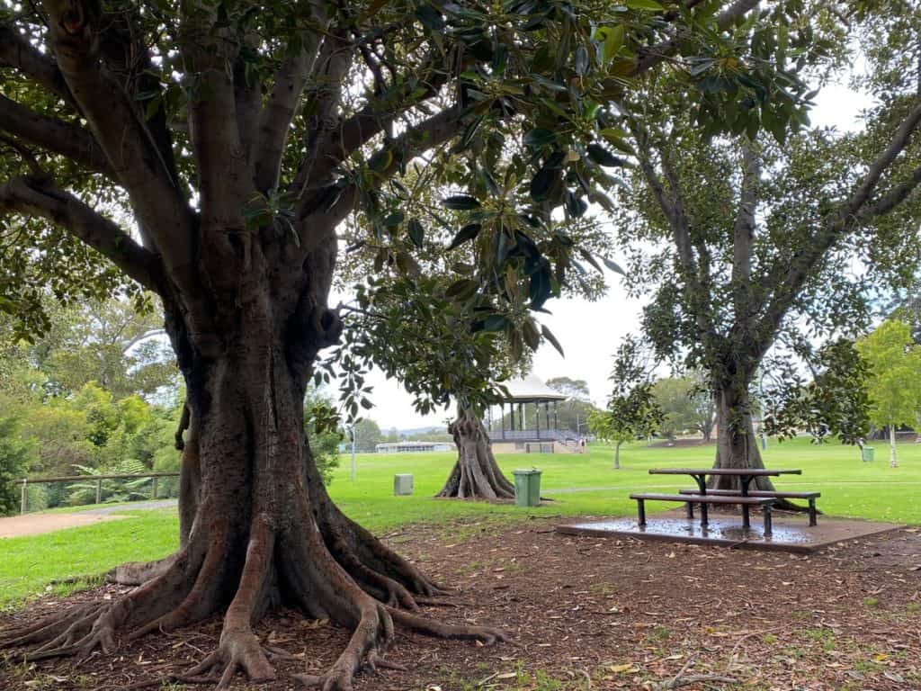
For a pleasant suburban walk, do a loop or two of Lambton Park. There are paved paths all around the perimeter of the park. Along the walk, you’ll pass Lambton Pool, playing fields, a Street Library, Lambton Library, rotunda and popular Lambton Park Playground. The walking paths along Howe Street are especially pleasant as they are flanked by large shady trees. The wide paths make it easy to push a stroller or accompany kids on scooters and bikes.
Distance: 1.63km circuit
Suitability: Flat path and pram-friendly and wheelchair friendly
For more information, visit Lambton Park
Wallsend to Glendale Tramway Track
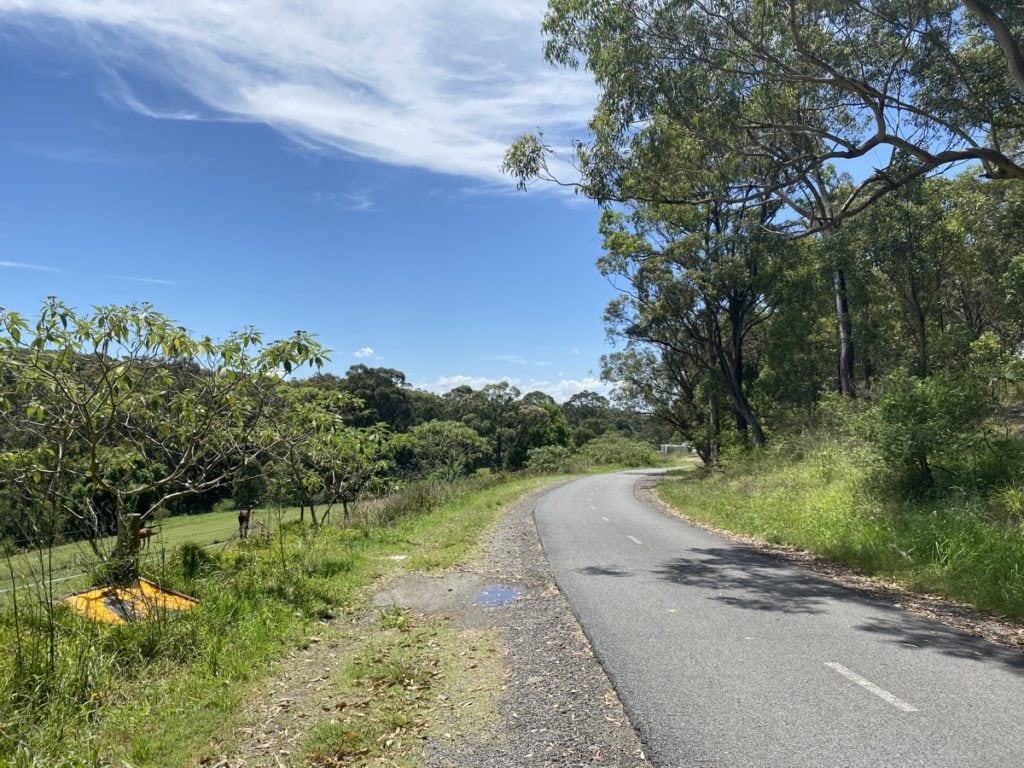
A former steam tram route, the Tramway Track is a 3.9km off-road walk and cycleway connecting Wallsend in Newcastle to Glendale in Lake Macquarie. If you’ve driven along Lake Road from Wallsend to Glendale, you’ll know how the road climbs up to the high point before descending down to Glendale. However, this track located down in the gully is a much easier way to get from Wallsend to Glendale as it has a steady shallow 3% gradient which was necessary for steam trams. It’s still a bit hilly though so it’s best for kids with some endurance.
Distance: 3.9km
Suitability: Hilly but pram-friendly and wheelchair-friendly as track is paved. Best for kids with stamina.
For more information, read our guide to the Wallsend Glendale Tramway Track
Wallsend Brickworks Park
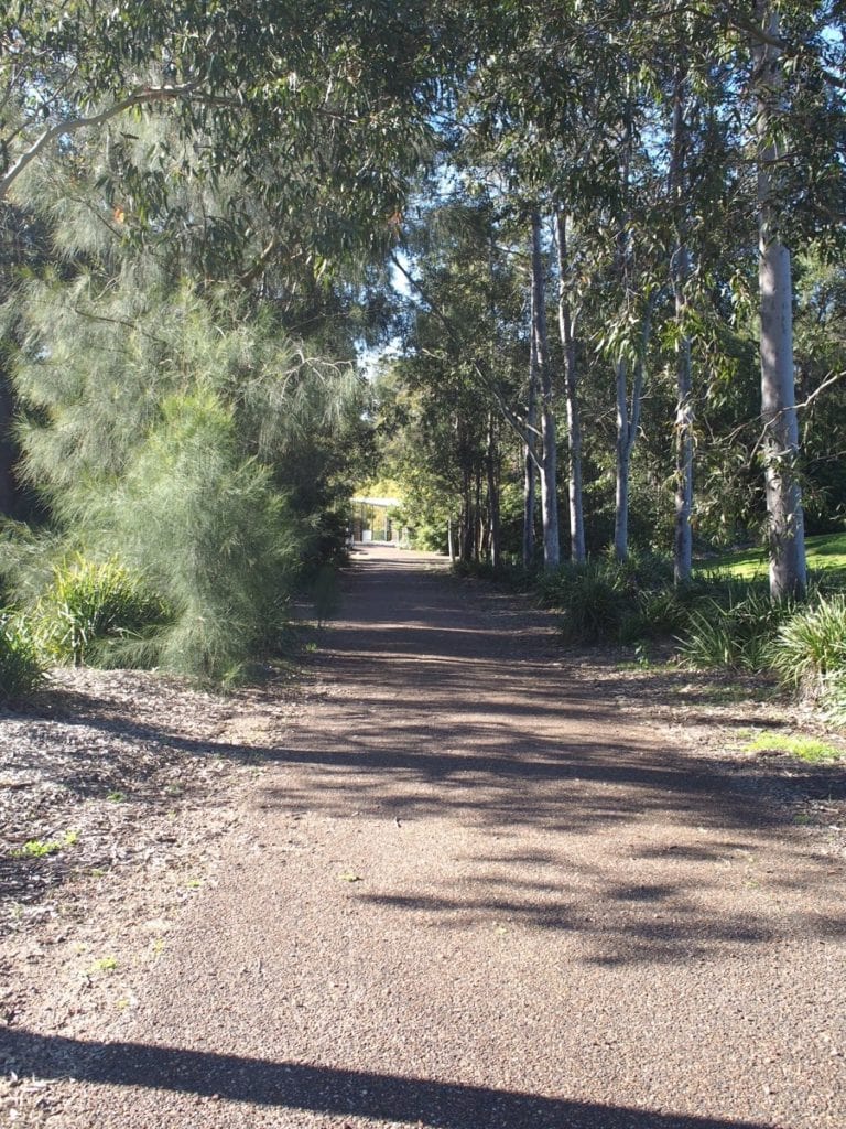
This is a great spot for families to visit for a short walk. It features a playground, nature trails and a peaceful pond area with an observation area and abundant birdlife. It’s hard to believe that the park is in the middle of a suburb as it’s quiet and tranquil. The walk around the park isn’t long. Take a left at the brick sculpture and head down the paved trail towards the bird observation. The trail then becomes dirt so wear gumboots after it rains.
Distance: 500m loop from brick sculpture past bird observation area
Suitability: Path up to brick sculpture is paved. Trail then becomes dirt.
For more information, read our guide to Wallsend Brickworks Park.
Jesmond Park
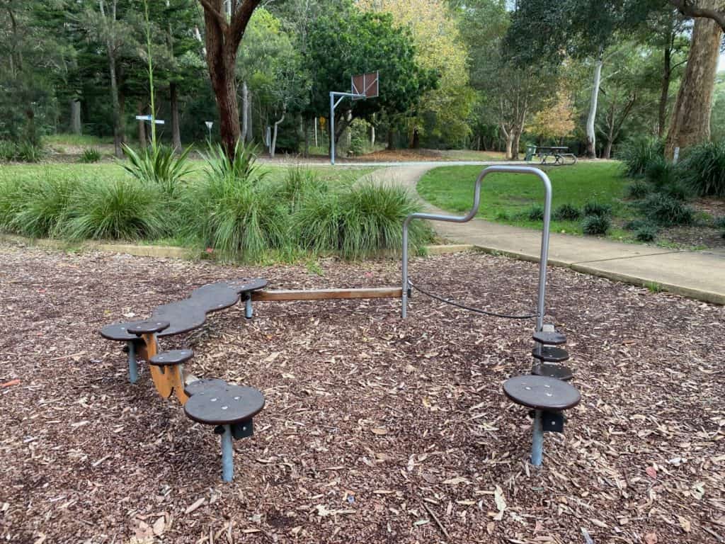
Head to Jesmond Park for a walk. You can walk around the park and do a circuit around the two playgrounds and the rose garden. You can also go on bushwalks by strolling along the signposted walking tracks. You can even walk up to John Hunter Hospital (1.4km to the hospital). It’s a lovely walk except it is uphill.
Distance: 1.4km to hospital
Suitability:
For more information, read our guide to the Jesmond Park
Blue Gum Hills

Head to Blue Gum Hills Regional Park at Minmi / Fletcher. This is a lovely large bushland park which was rehabilitated from its open cut mining site into a community park. It’s a great place to enjoy some walks with your family. There are walking tracks throughout the park including the easy 2.5km Heritage Walking Track which takes you past coal mining infrastructure. Along the way, you’ll spot the large 1870s brick tower of an original ventilation shaft from the old mine. It’s a fun nature walk for kids as it’s mostly flat. This peaceful walk wanders through bushes and trees and you can hear birds chirping away.
Distance: 2.5km on Heritage Walking Track
Suitability: Dirt paths aren’t suitable for prams or wheelchairs
For more information, read our guide to Blue Gum Hills Regional Park.
Welcome Walk at Kooragang Wetlands in Hunter Wetlands National Park
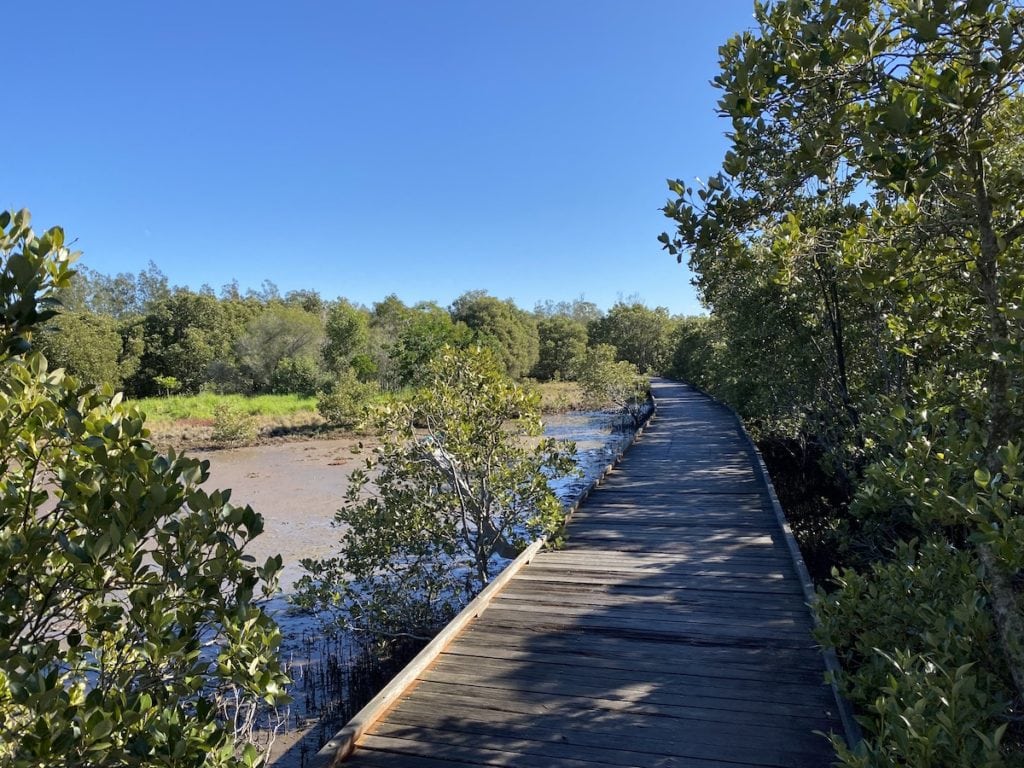
There are a few different walks to choose from Kooragang Wetlands also known as Ash Island. Start with the Welcome Walk boardwalk through the mangroves. It starts from the parking area on Schoolhouse Road. This is the favourite part of Ash Island for some visitors. It’s suitable for walking with children as it’s flat and easy to navigate especially if you have a stroller or wheelchair. Just watch out as there are some rotting boards along the way.
Distance: 1km one-way
Suitability: Raised wooden footpath suitable for prams and wheelchairs.
For more information, read our guide to Hunter Wetlands National Park
Farmhouse Walking Track at Kooragang Wetlands in Hunter Wetlands National Park

Kooragang Wetlands is the location of a former WWII radar station. 131 Radar Station Ash Island was built in 1942 to protect Newcastle during World War II. From Riverside Park, you can follow the gravel trail Farmhouse Walking Track through the pastures towards the WWII radar stations. It’s approximately 1 kilometre there along a flat trail. Along the way, you’ll pass Milham’s Farmhouse or what’s left of it. You’ll need to cross Milham Road and venture down another short trail (keep an eye out for Cabbage Palms) and then you’ll spot the concrete igloos.
Distance: 1km one-way
Suitability: Gravel path not really suitable for prams and wheelchairs.
For more information, read our guide to Hunter Wetlands National Park
Scotts Point Way Walk at Kooragang Wetlands in Hunter Wetlands National Park
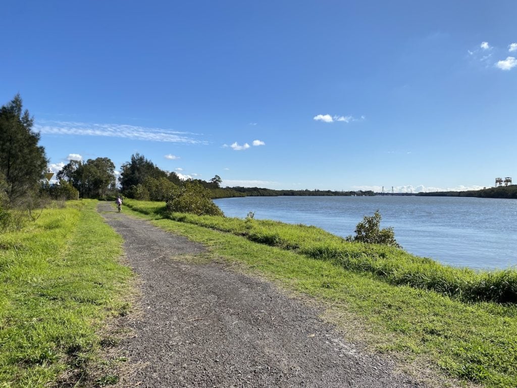
If you feel like a walk along the river, there is a 1.4 kilometre one-way trail which is especially scenic whether you’re walking or on a bike. You don’t need to walk the entire track but head as far as Scott’s Point. Here you’ll find a rest stop to relax as well as information panels. There is a lovely little beach you can explore as well as seeing the mangroves up close.
Distance: 1.4km one-way
Suitability: Dirt / gravel path – might not really be suitable for prams and wheelchairs.
For more information, read our guide to Hunter Wetlands National Park
Find a Newcastle walk on a map
If you’re looking for walks in neighbouring LGAs, check out our guide The Best 20 Lake Macquarie LGA Walks You Must Do With Kids or Best Maitland Walks To Do With Kids.

Started in late 2012 by a local mum, Newy with Kids has grown into a thriving go-to family guide for the Newcastle, Lake Macquarie & Hunter region. Parents visit the Newy with Kids website to find things to do with babies, kids and teens. Whether it’s local attractions, upcoming events, kids eat free, school holiday activities or birthday party ideas, Newy with Kids is the best website for local parents to find local kid-friendly activities and information 24/7.
